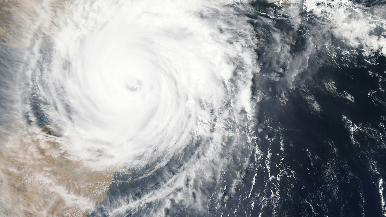
John, the storm in the Eastern Pacific Ocean, turned into a category I hurricane on Monday afternoon despite initial forecasts of a tropical storm. US National Hurricane Center said that John had “rapidly strengthened” over the last few hours and currently has maximum sustained winds of 100 mph (155 kmph).
The storm was last spotted south of Punta Maldonado, off the Pacific coast of Mexico, and it was moving towards Oaxaca in Mexico ahead of its forecasted landfall on Tuesday. The storm is moving at a speed of 6 mph, the US National Hurricane Center said.
Oaxaca, a hub of resort town on Mexico's Pacific coast is forecasted to be one of the places where the hurricane could potentially make landfall. However, the path of the hurricane has been shifting as it is moving towards to coast, making the exact location of landfall uncertain
However, Oaxaca has been placed on high alert amid the approaching storm. The area has been warned of dangerous winds along with "life-threatening" flash floods. There has already been strong rains in Oaxaca yesterday, which left the streets flooded and nearly unnavigable.
Oaxaca is a popular tourist destination in Mexico off the Pacific coast. Even as the rains and potential hurricane warning continue, the tourists were spotted in videos walking with difficulty through the inundated roads.
As per reports, fishermen in the area were also pulling their boats off the sea to avert damages from the potential hurricane.
John was initially moving towards Mexico as a category 2 hurricane but was forecast to continue strengthening possibly into a major category 4 hurricane before making landfall.
With inputs from the Associated Press.

