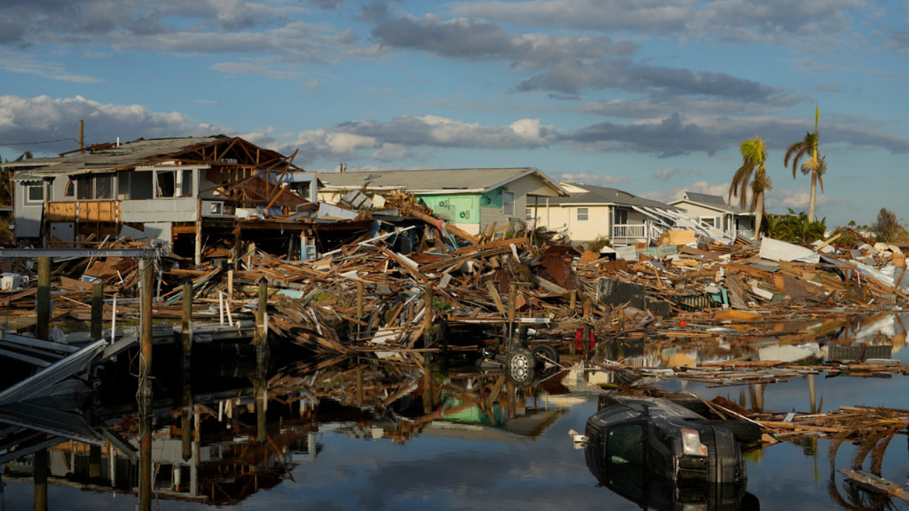
With Hurricane Helene set to make landfall in Florida's Big Bend Thursday as a category 4 hurricane with a wind speed of up to 130 mph (210 kmph), almost all of Florida's west coast was placed on a storm surge warning. Videos surfaced from various places on Florida's west coast showing extreme weather conditions.
The X account of Tampa's Florida Highway Patrol showed a railing along a road being surged by massive flooding, barely able to survive the pressure. Cars can be seen in the background, scampering to move away from the incoming water.
The Skyway Bridge and the Howard Frankland Bridge are both CLOSED due to high winds and storm surge. Motorists should stay off the highways. #Helenepic.twitter.com/OAM2aMUPEP
— FHP Tampa (@FHPTampa) September 26, 2024
Max Chesnes, the climate and environment reporter for Florida-based Tampa Bay Times shared a video from Madeira Beach where water from the sea can be seen entering a road, with strong winds blowing.
Storm surge from Hurricane #Helene coming in fast here at Madeira Beach pic.twitter.com/BDC6KmL7PH
— Max Chesnes (@MaxChesnes) September 26, 2024
Areas Under Storm Surge Warning
The National Weather Service (NWS) put Florida's Big Bend on a storm surge alert. The surge could go up to 15-20 feet in several places, the NWS said. The following areas, along with the projected storm surge, have been placed under the warning:
Carrabelle to Suwannee River (15 to 20 feet)
Apalachicola to Carrabelle (10-15 feet)
Suwannee River to Chassahowitzka, (10 to15 feet)
Chassahowitzka to Anclote River (8 to 12 feet)
Indian Pass to Apalachicola (6 to 10 feet)
Anclote River to Middle of Longboat Key (5 to 8 feet)
Tampa Bay (5 to 8 feet)
Middle of Longboat Key to Englewood (4 to 7 feet)
East of Mexico Beach to Indian Pass (3 to 5 feet)
Englewood to Flamingo (3 to 5 feet)
Charlotte Harbor (3 to 5 feet)
Florida Senator Marco Rubio wrote on X: "No one will survive surges like this If you are in an evacuation zone please get out now!"

